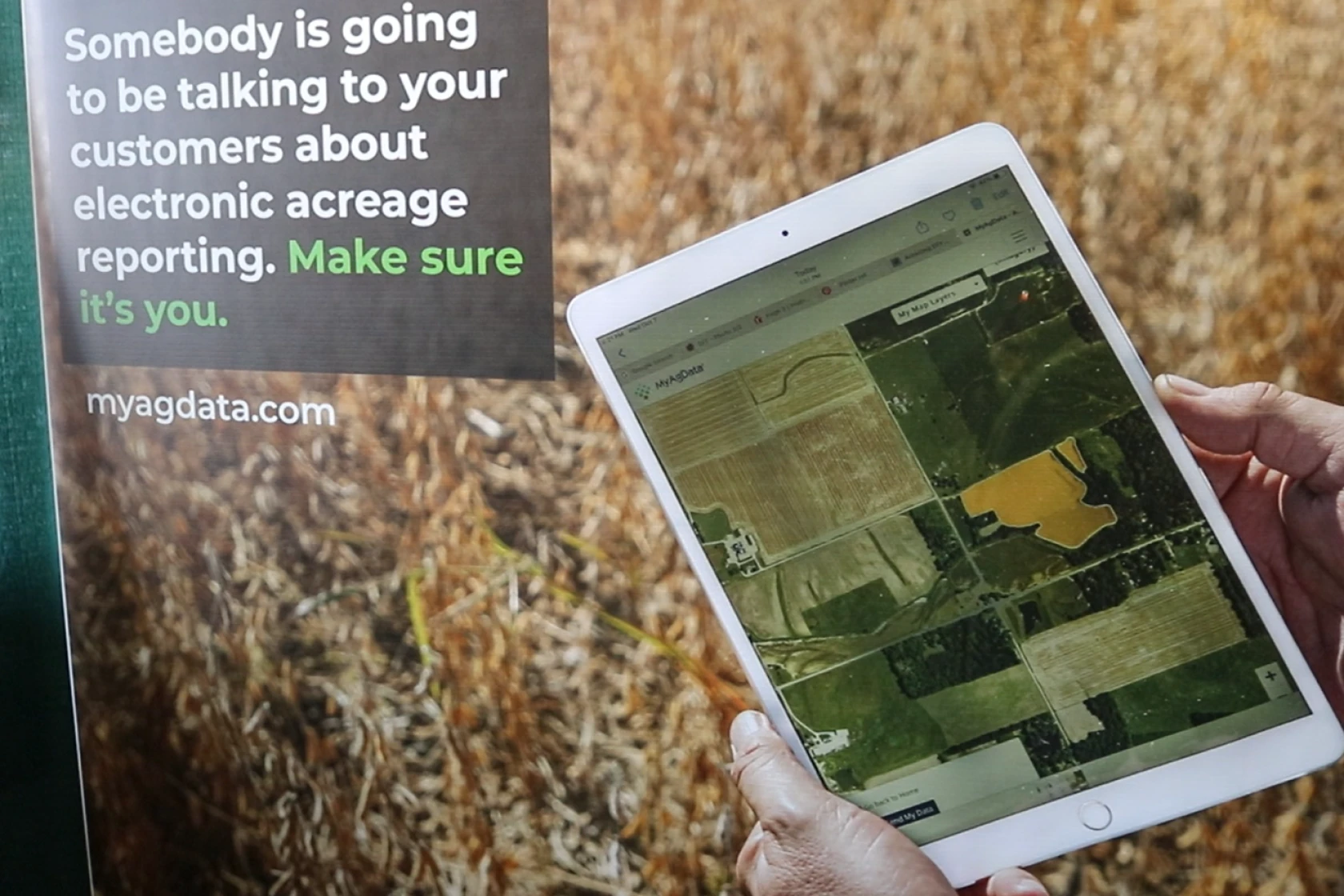
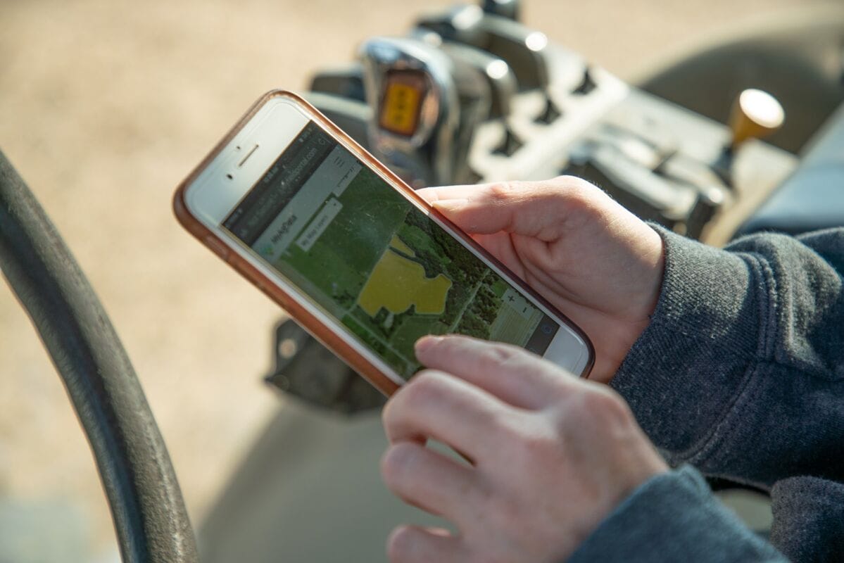
Make Acreage Reporting Simple
Acreage reporting doesn’t have to mean paper maps and long office visits. MyAgData uses your existing field data to produce accurate reports for FSA and RMA, cutting out the most frustrating parts of the process. Less paperwork. Fewer mistakes. More time back.
Electronic Acreage Reporting
With MyAgData, you use the field data you already collect to create accurate, ready-to-file reports. We are already trusted by growers, agencies, and partners nationwide.
95%
Complete grower satisfaction
1m+
Acres reported
20+
Strategic partners
It's Time for Electronic Acreage Reporting
File seamlessly with accurate data to both FSA and your Crop Insurance agent. Fewer office visits, more peace of mind.

Save Time on Reporting
“After using MyAgData’s managed services and seeing how much less time I spent on reporting, I will never go back.”
- Grower, Bottineau County, ND
- Grower, Bottineau County, ND

Save Money & Increase APH
“Being able to break out my waterways and unplanted cropland in MyAgData by using my Deere data was a gamechanger for my reporting, I saved 5% on my premiums and increased my APH.”
-Grower, Fillmore County, MN
-Grower, Fillmore County, MN

Report the Way You Farm
“Certifying using MyAgData and my Climate data greatly increased the accuracy of my acres and was very easy on my end as a farmer.”
–Grower, Cass County, ND
–Grower, Cass County, ND
Built on experience. Trusted by industry leaders.


Testimonials
"Using MyAgData saved me hours of back-and-forth and helped me lower my premiums. They allowed me to give the color crayons back to my kids."

Quentin C.
Corn & Soy, Nebrasksa
“FSA paper maps are like a chisel and hammer – it’s 2025 there has to be a better way.”
“I love working with the MyAgData team- they allow me to report the way I farm.”
“I love working with the MyAgData team- they allow me to report the way I farm.”

Steve P.
Corn & Soybeans, Illinois
“Biggest benefit for our operation is that we can focus on other things instead of worrying about getting acreage reports done. Make sure you’re ready for a simple trip to the FSA office for acreage reporting along with going to the crop insurance agency.”

Ben B.
Corn, North Dakota
“Reporting actual acres using my precision ag data saves me money – 10% difference from my planted acres versus CLU boundaries.”

Rance D.
Rice & Soybeans, Missouri
"MyAgData is the best system in the market for a large operation like ours."

Belltown Farms
Regenerative Organic Row Crop & Specialty Grain

How Does it Work?
Simple & Transparent Pricing
Choose your data source, select your service level and we'll handle the rest!

CLU Boundary
Traditional CLU boundaries from FSA maps. Good for basic reporting needs.
FMIS Operational Boundaries
Use field boundaries from your farm management software (Climate Fieldview, John Deere Ops Center, etc...).
Precision Ag
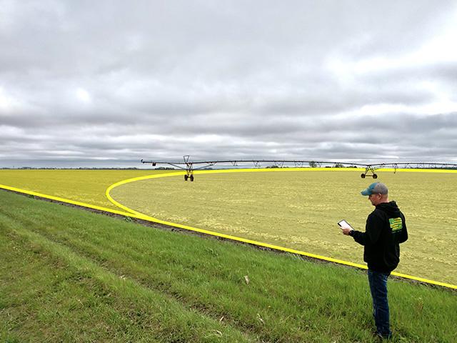
Upload planting data from your monitor (Shapefile, GeoJSON, etc...).Most accurate method using your actual planted acres.
Manually Add Fields From a Map
Draw your fields directly on a digital map to create accurate acreage records when precision equipment data is not available.
Who We Serve
MyAgData connects everyone involved in acreage reporting with accurate, shared field data. Every group benefits from cleaner reports, fewer corrections, and a simpler workflow.
Crop Insurance
Agents receive accurate, grower-verified planting data that reduces premiums.
Industry Partners
Verified field data supports better insights and stronger grower relationships.

FSA
Precise, ready-to-file reports based on actual field data, improve accuracy and reduces office traffic.

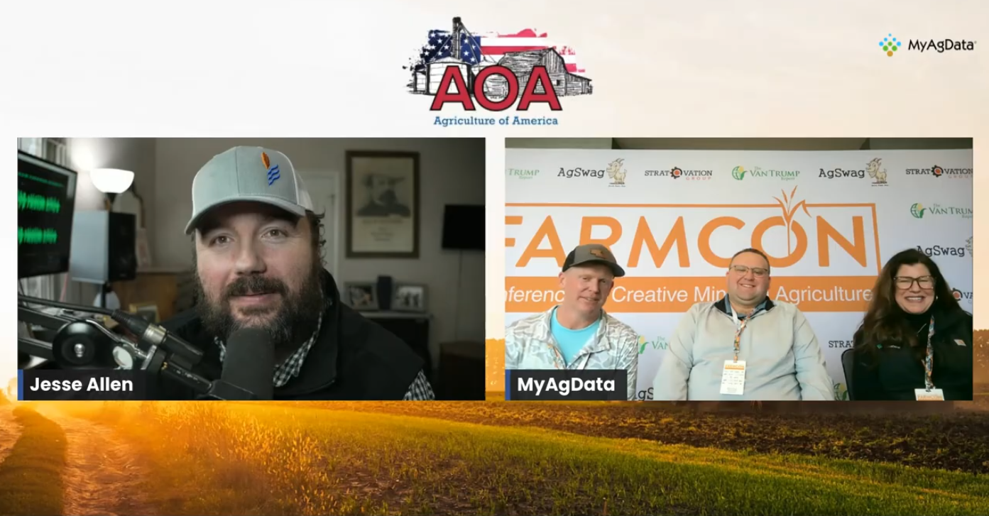
In the News