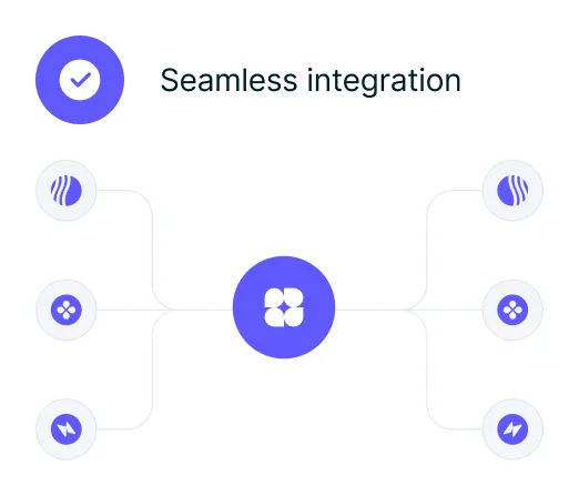
Build & growth with scalable tools
Easily adapt to changes and scale your operations with our flexible infrastructure, designed to support your business growth.


10K+
10.000+ people already joined the Advisory

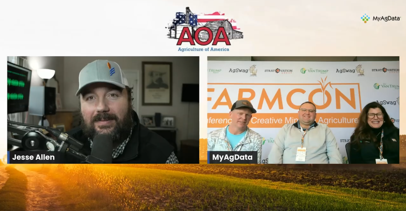
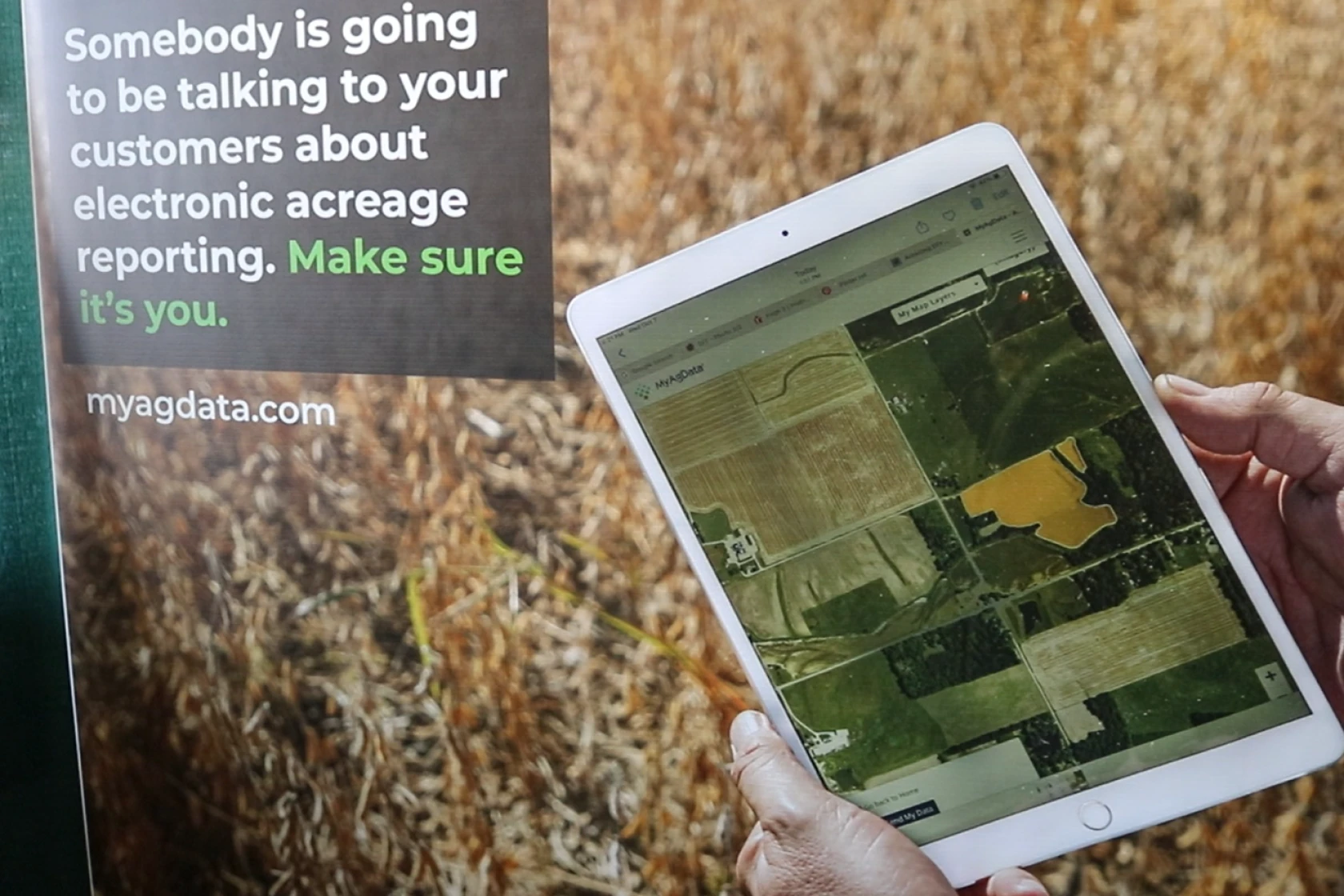
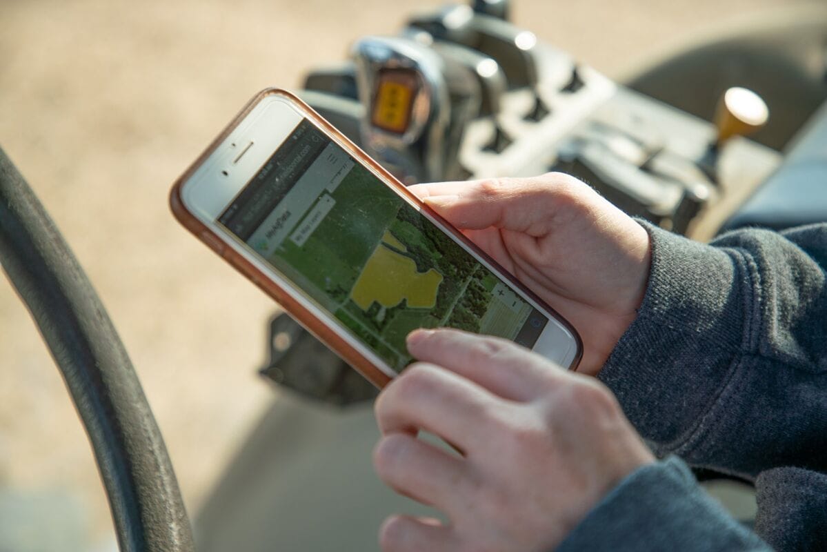
Electronic Acreage Reporting
With MyAgData, you use the field data you already collect to create accurate, ready-to-file reports. We are already trusted by growers, agencies, and partners nationwide.
95%
Complete grower satisfaction
1m+
Acres reported
20+
Strategic partners
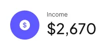
Make payment easy, simplify your finance
Our platform managing personal finances or growing your investment portfolio, our system integrates the latest technology to help you make smarter financial decisions with ease.

10+
Years of innovation and valuable insights, empowering businesses to thrive in a competitive market.

95%
Complete customer satisfaction achieved through personalized solutions, proactive support, and a dedication to meeting the unique needs of every client. Our focus on excellence ensures your success at every step.

Expertise
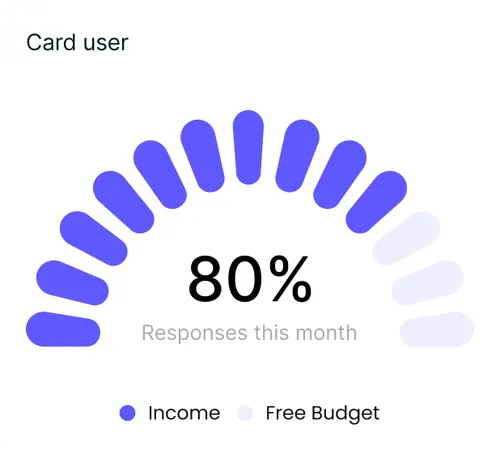
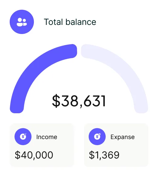
Empowering and strengthening your financial success
Our platform provides advanced tools and insights to help you manage, grow, and secure your financial assets.
Intuitive user interface
User-friendly design for effortless navigation and usability
Automated processes
Streamlined workflows to increase efficiency and reduce manual tasks

Advanced security features
Protect your data with top-notch security protocols
Secure transactions
Safeguard your purchases with encrypted transactions and fraud detection
Features
Explore our standout features designed to deliver exceptional performance and value, distinguishing us from the competition.
Real-time analytics
Customizable reports
Mobile accessibility
Enhanced security
Real-time analytics
Customizable reports
Mobile accessibility

Enhanced security
“Clayo has revolutionized how I manage my startup’s finances. The platform is intuitive and the insights are incredibly valuable. I can’t imagine going back to how we used to do things.”

Sarah Thompson
Founder, GreenPath Solutions
“Thanks to Clayo, our team has gained better visibility into our budget and spending trends. The automation features save us hours every week, and the platform just keeps getting better.”

David Wilson
CFO, Nova Enterprises
“I’ve used several financial platforms before, but none as complete and user-friendly as Clayo. It’s helped me grow my freelance business with confidence and clarity.”

Emily Harris
Freelance Consultant, EH Strategies
“Clayo delivers exactly what modern businesses need — simplicity, power, and reliability. Our financial operations are smoother than ever.”

James O’Connor
Managing Director, BrightCore Ltd
“Clayo gives me peace of mind. Tracking expenses and setting financial goals has never been easier. The design is clean, and everything just works.”

Olivia Bennett
Marketing Director, Horizon Brands
“As a small business owner, Clayo has been a lifesaver. It’s like having a full finance team in one app. Highly recommend it to anyone looking to scale smartly.”

Michael Reed
Owner, Reed & Co.

How Does it Work?
Simple & Transparent Pricing
Choose your data source, select your service level and we'll handle the rest!

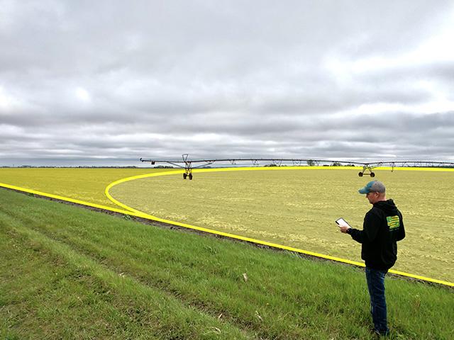
CLU Boundary
Traditional CLU boundaries from FSA maps. Good for basic reporting needs.
FMIS Operational Boundaries
Use field boundaries from your farm management software (Climate Fieldview, John Deere Ops Center, etc...).
Precision Ag
Upload planting data from your monitor (Shapefile, GeoJSON, etc...).Most accurate method using your actual planted acres.
Manually Add Fields From a Map
Draw your fields directly on a digital map to create accurate acreage records when precision equipment data is not available.
In the News
.png)